Dvina
Dvina is a data analysis platform combining geospatial intelligence and AI to centralize data and unlock actionable business insights.
Screenshots
About Dvina
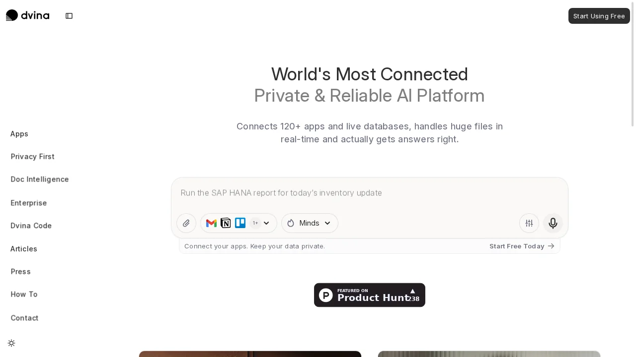
Dvina is a unified data analysis platform designed to help organizations centralize diverse data sources and extract meaningful intelligence. The platform connects seamlessly with popular databases including MySQL, PostgreSQL, and MongoDB, while also supporting standard formats like Excel and CSV files. Real-time streaming capabilities enable instant data processing, allowing teams to react to insights as they emerge rather than working with outdated information.
The platform distinguishes itself through its advanced geospatial infrastructure, which simplifies the analysis of location-based data and spatial relationships. By integrating geospatial capabilities with traditional data analytics, Dvina helps users uncover hidden patterns and correlations that drive strategic decision-making. This combination is particularly valuable for enterprises seeking to understand geographic trends, optimize operations across regions, or identify growth opportunities tied to specific locations.
Dvina's AI-powered analytics tools provide intelligent recommendations and guided insights that reduce the complexity of data exploration. Interactive dashboards and customizable visualizations transform raw data into clear, actionable narratives that accelerate decision-making processes. The platform supports scalable analysis across large and diverse datasets, making it suitable for organizations at any size managing significant data volumes.
Beyond basic reporting, Dvina empowers data-driven optimization by identifying operational inefficiencies, uncovering market opportunities, and enhancing customer experiences through advanced analytics. The tool enables teams to move beyond descriptive reporting toward predictive insights that create competitive advantages and support sustainable business growth.
Pros
Cons
Alternatives to Dvina
Analytify - A GenBI Platform
DealNavigator.Ai
GA4.so
Hanalyzer.ai
MyReport
SportBot AI
Wandercrafted